|
| Home |
| About Us |
| Methods |
| Sample Sites |
| Data Repository |
| Acknowledgements |
Commencement Bay |
||||||||||||||||||||||||||||||||||||||||||||||||||
Methods
|
||||||||||||||||||||||||||||||||||||||||||||||||||
![]()
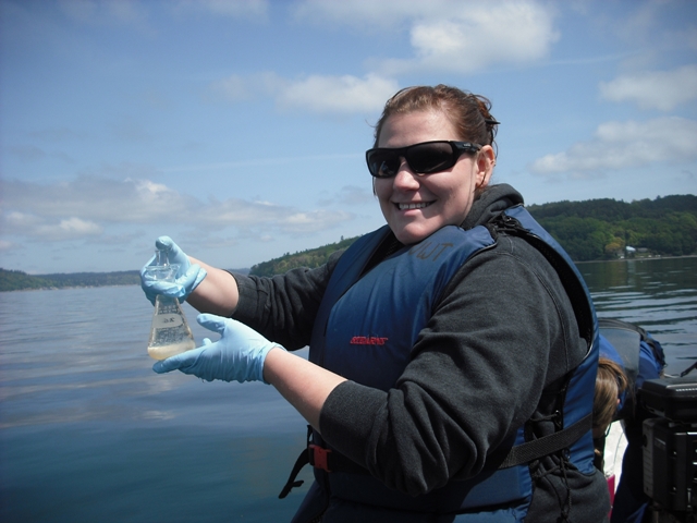
Praperation of Dissolved Oxygen
.JPG)
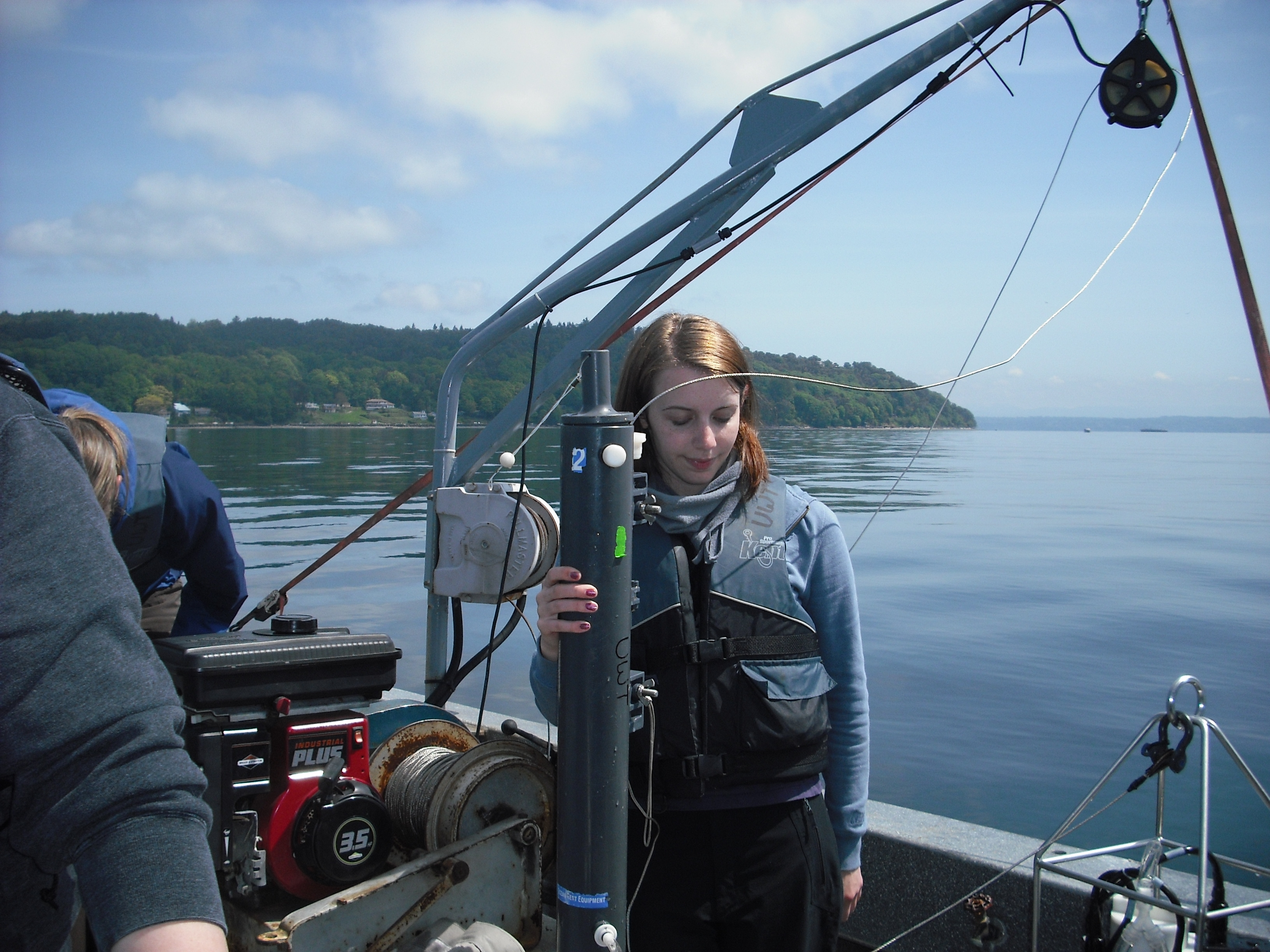
Water Samples Collected in Niskin Bottles
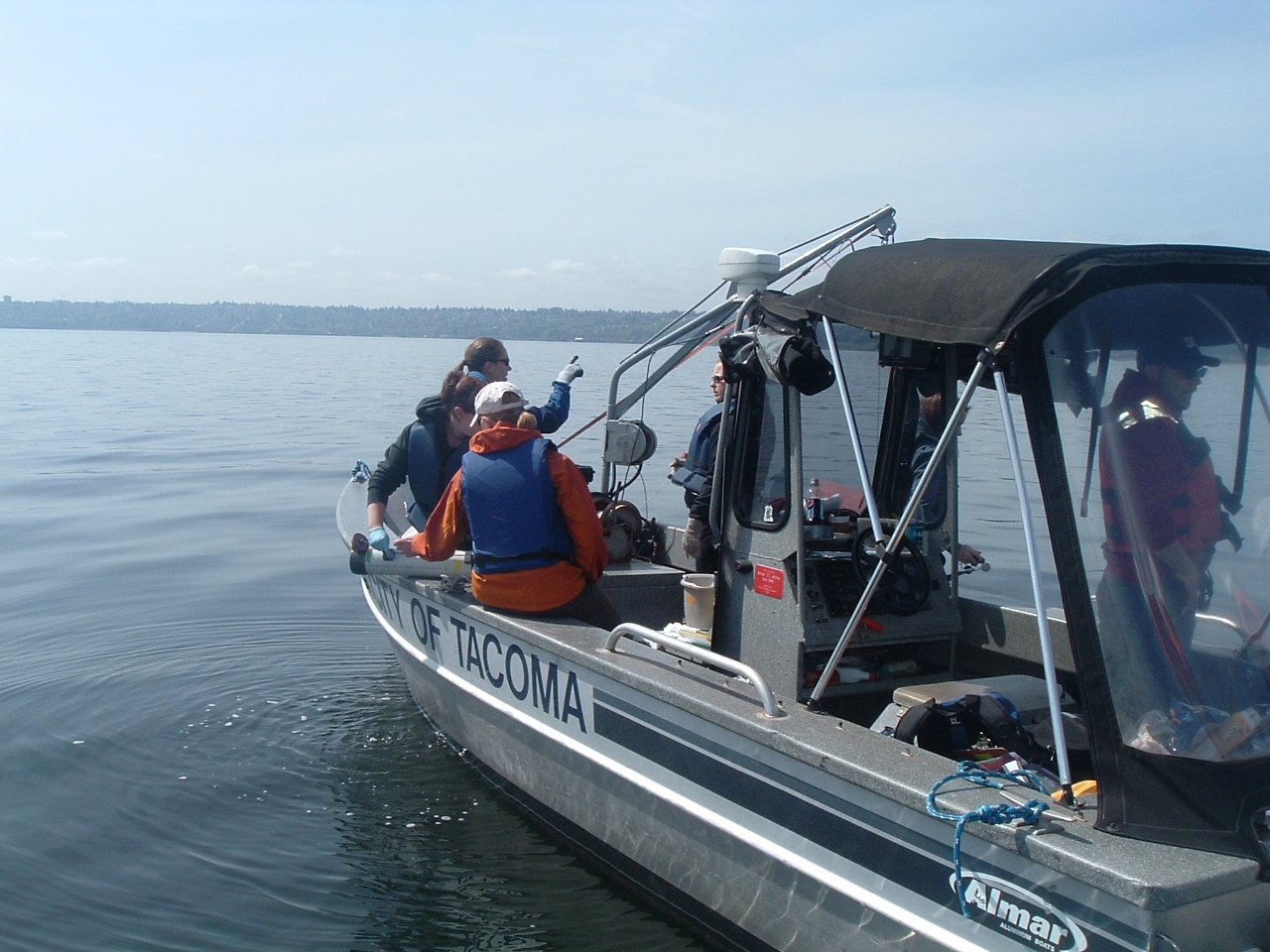
Samples were Collected on Bay Watcher II Along Commencement Bay
.JPG)
.JPG)